TracPlus Media Kit
About TracPlus
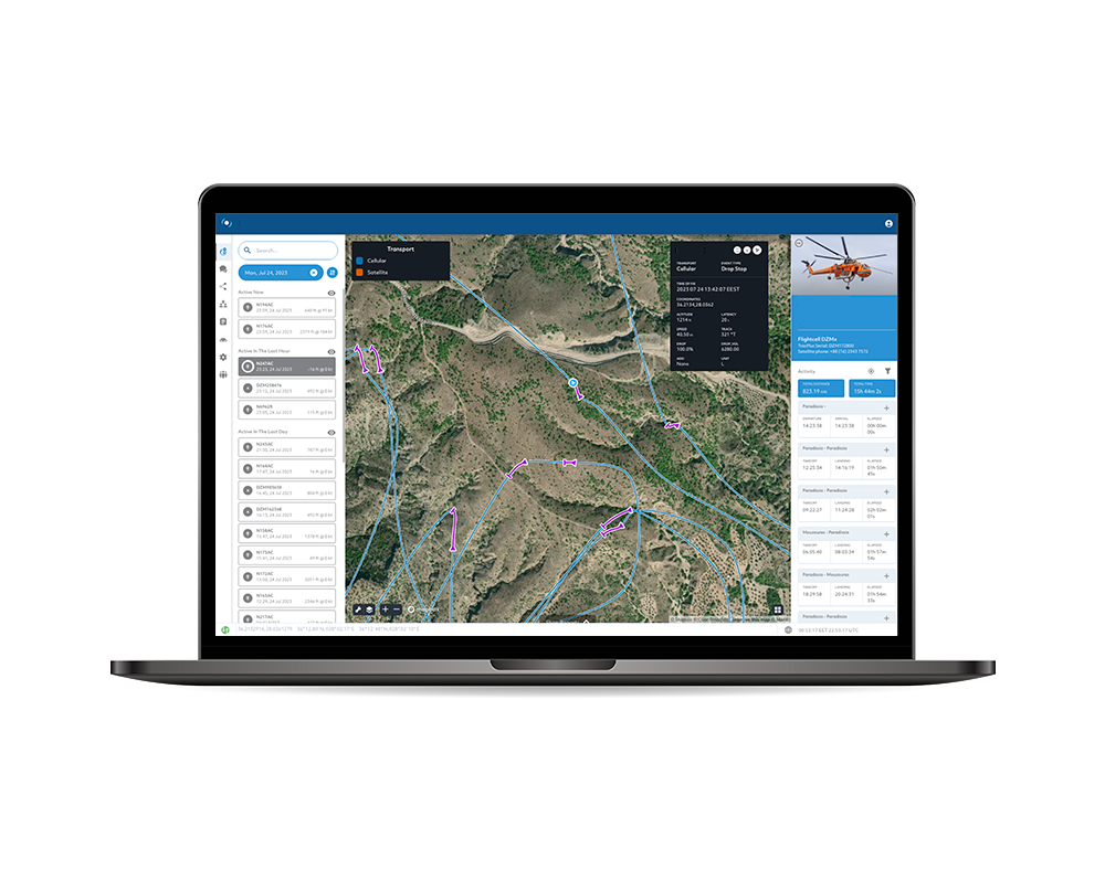
TracPlus specialises in developing leading telemetry and data solutions that make wildfire fighting organisations safer and more efficient. TracPlus is the only commercial provider to deliver a whole-of-country solution for integrated aircraft tracking in the wildfire management space. We do this by tying multiple data streams and asset types into a single view of the truth for mission-critical operations and deliver situational awareness to operators, irrespective of who owns the asset, what the asset is, who provides the tracking, or what the platform or signal type is — be it IP, IoT, cellular or satellite.
Our powerful, cloud-based platform enables our customers to track, manage, monitor, and message their personnel and resources, including land, maritime, and aviation assets, to keep crews safe, conserve resources, and maximise coordinated efforts.
As the trusted provider of the mission-critical tracking and communications platform for first responders, government agencies, militaries, and other critical operators around the world, TracPlus has been present at virtually every major disaster response globally in the past five years.


COMPANY HISTORY
TracPlus has its roots in search and rescue after a boating triple-fatality in 2003 off the coast of New Zealand's South Island. The vessel had a traditional 121-style rescue beacon which provided a basic locational signal but due to the requirement of multiple satellite passes to pinpoint the rescue location it meant that four possible locations for the party were identified on different sides of the country. It wasn't until almost three hours after the initial incident occurred that the rescue team were able to find the vessel by which time three of the six occupants had succumbed to the treacherous conditions.
Following this incident, the pilot of the rescue helicopter and a local technology enthusiast got together to come up with a better way to find people in distress; by actively tracking them all the time, not just when they need help. In late 2005, a small satellite-based tracking terminal was fitted to a helicopter and 18 months later, TracPlus Global was born. Since then we've earned the trust of customers in over 40 countries, have supported over 9,500,000 operational hours of firefighting, search and rescue, EMS transfers, and more.
What our customers say
“The live tracking provided by TracPlus helps us to ensure safe distances are achieved between helicopters and drones, while also giving great situational awareness of all operations in the region.”

“TracPlus has changed the reporting of intelligence completely. It registers the exact location of where we pick up water, and how many litres we’re picking up. It’s tracking us to and from the fire. That way, the command centre can see how effective we are as it determines what our turn around times are.”

"The fact that we can monitor exactly where our park rangers are and what they’re doing means we can always respond with the necessary assistance they may need."


